


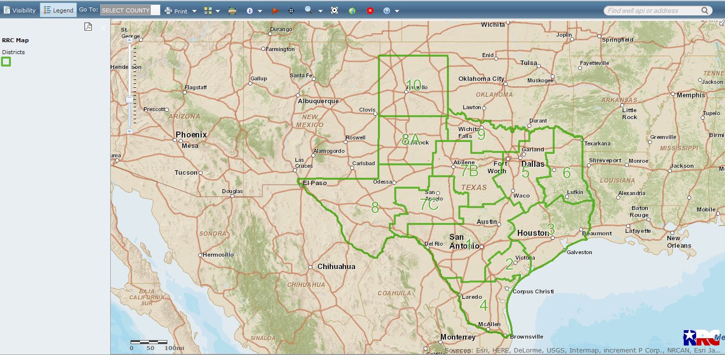
The Texas Railroad Commission website includes a tool it calls the Public GIS Viewer, that all mineral owners should become familiar with. It can be found at http://wwwgisp.rrc.state.tx.us/GISViewer2/, and it looks like this (click to enlarge):
The RRC website also has a page showing you how to use the viewer, found here.
You can locate wells and permits, and find permit plats, P-12’s, and other records in the permit file. Spend a little time playing around on the viewer to become familiar with its tools.
Other data at the RRC can be searched from this page: http://www.rrc.texas.gov/about-us/resource-center/research/online-research-queries/ . From this page, you can find completion reports, field rules, organization reports, P-4’s and P-‘5’s, production data, and much more. An explanation of the data that can be located from this data queries page can be found here.
Use the viewer to locate the lands where you own interests. Look up your wells. Look for permitting activity in the vicinity of your properties. Have fun.